
SIGPAC plot
A continuous area of land with a specific alphanumeric reference. Its boundary matches that of the Catastro parcel.
SIGPAC is Spain’s official register of agricultural plots and its map can be viewed in the FEGA viewer. We explain what it is, how a plot differs from an enclosure and how to bring your SIGPAC plots into the field logbook with Agrimaps.
The register
SIGPAC (Sistema de Información Geográfica de Parcelas Agrícolas) is the sole reference base for identifying agricultural plots under the Common Agricultural Policy (CAP), according to Article 18 of Spanish Real Decreto 1047/2022: in other words, Spain’s Land Parcel Identification System (LPIS).
It is a public, administrative register that depends on the Fondo Español de Garantía Agraria (FEGA, the Spanish Agricultural Guarantee Fund) and on the agriculture departments of the autonomous communities. It works as a geographic database with the boundaries of each enclosure, its reference, its agricultural use and orthophotos and maps of the whole of Spain (Article 19). It is also the basis on which farmers declare their areas and crops.
Concepts
A continuous area of land with a specific alphanumeric reference. Its boundary matches that of the Catastro parcel.
A continuous area within a plot, with a single agricultural use and a unique alphanumeric reference.
Each enclosure is assigned one of the uses set by the regulation, together with its area and other data.
The cadastral reference of each SIGPAC plot is also recorded.
The viewer
The official SIGPAC map can be viewed in the FEGA SIGPAC viewer, where you can search for plots and enclosures on the orthophotos.
If what SIGPAC has on record does not match the reality on the ground, the holder of the enclosure can ask for it to be reviewed by submitting a modification request to their autonomous community; if it concerns the cadastral parcel data, to the Catastro (Article 21). Whoever declares the enclosures is ultimately responsible for the accuracy of their information (Article 20).
With Agrimaps
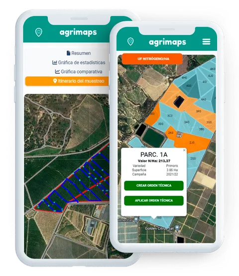
In Agrimaps you don’t type in the codes: the official SIGPAC plot codes are imported automatically from the online register, and with them the field logbook is generated at the click of a button.
How all of this goes into the logbook is explained in field logbook with SIGPAC plots.
The Sistema de Información Geográfica de Parcelas Agrícolas, Spain’s Land Parcel Identification System (LPIS): the public register used to identify agricultural plots under the CAP, which depends on FEGA and the autonomous communities (Real Decreto 1047/2022, Articles 18 and 19).
A plot is a continuous area with its own reference and the same boundary as the cadastral parcel. An enclosure is a part of that plot with a single agricultural use and its own reference.
In FEGA’s SIGPAC viewer (sigpac.mapa.gob.es/fega/visor), on orthophotos covering the whole of Spain.
Ask for it to be reviewed by submitting a modification request to your autonomous community, and to the Catastro (Spain’s land registry) if it affects the cadastral parcel data.
No. Agrimaps automatically imports the official SIGPAC plot codes from the online register.
Yes. Fill in the contact form and we will show you with a demo.
Sources
The definitions come from Real Decreto 1047/2022 of 27 December, in its consolidated text in the BOE (Spain’s Official State Gazette), last amended on 20/11/2025: Article 2 (SIGPAC plot and enclosure), Articles 18 to 21 and Annex III. What Agrimaps does comes from this website and its manuals.
Agrimaps
Your field logbook at the click of a button, with SIGPAC plots imported from the online register.
The status of pests in each plot, phenological stages and Alternaria alerts.
Alerts when the weather raises the risk of Alternaria, and the risk chart with your treatments.
Every incident with a photo, at the exact spot on the farm, with directions to get there.
Clareta, Delottococcus and calyx assessments, plus a final assessment of the fruit.
The South African citrus mealybug (Delottococcus aberiae): its damage, where to look for it and how to assess the lesions it leaves.
Agrimaps
Ask for a no-obligation demo and we will show you Agrimaps with your own farms.